Synspective images Kumamoto earthquake damage with StriX SAR satellites
Synspective tasked StriX SAR satellites hours after Japan's July 28 Kumamoto quake, later measuring up to 1m of fault displacement.
what happened
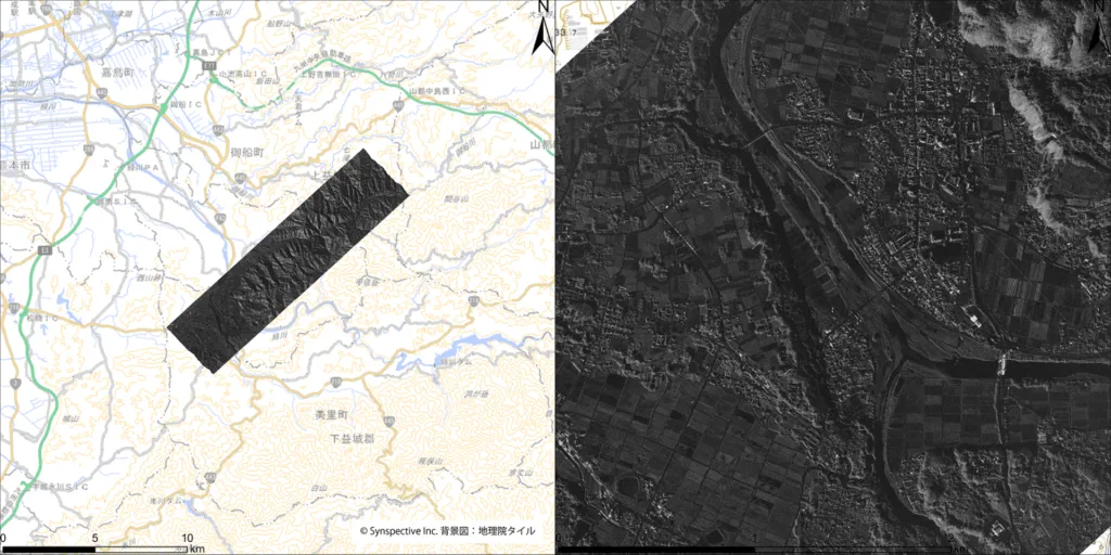
Synspective said it began emergency tasking of its StriX small SAR satellites on July 28, 2026, the day a magnitude-7.1 earthquake struck Kumamoto Prefecture, and completed imaging of the affected area by the following morning, providing the data to relevant institutions. In a follow-up analysis of JAXA's ALOS-2 satellite data taken seven hours after the quake, compared against archive imagery from August 2025, Synspective's InSAR and pixel-offset analysis found up to approximately 1 meter of displacement along the Hinagu Fault Zone, and its slope-hazard interpretation found no major landslides on observable slopes.
why it matters
This is Synspective demonstrating the rapid-tasking turnaround, imagery delivered to disaster-response institutions within about a day of a major quake, that commercial SAR operators pitch to government emergency-management customers as their edge over optical constellations, which need daylight and clear skies.
for who
Disaster-response agencies, SAR data buyers
signal-to-noise
quick facts
- Companies
- Synspective
- Category
- product
- Impact
- noise
- SNR
- 5 / 5
- Event date
- 2026-07-28
- Published
- 2026-07-31 09:49 UTC