Serco launches NadirEO platform to process Earth observation data
Serco
Serco's new NadirEO platform combines satellite, aerial, drone and ground-sensor data into ready-to-use analytics, per Il Sole 24 Ore.
what happened
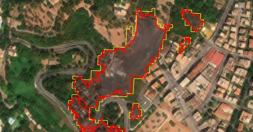
Serco launched NadirEO, an Earth observation data platform that combines satellite, aerial, drone and ground-sensor data with open data and a customer's own datasets in a single environment, per Il Sole 24 Ore. The platform launches with 18 services delivered through an ecosystem of specialist partners including Geoskop and Italian firms Titan4 and Gisky, initially targeting the energy, insurance, infrastructure and agriculture sectors on a pay-as-you-go pricing model; the outlet reports a regional natural-risk analysis covering more than 10,000 square kilometers costs about 12,000 euros. Roberto Mulatti, managing director of Serco's Space Europe business and CEO of Serco Italia, said pilot projects using the platform have already identified photovoltaic installations and assessed fire damage.
why it matters
NadirEO positions Serco, long a ground-segment and operations contractor for European space programs, as a direct seller of EO analytics rather than just infrastructure services, competing for the same data-to-insight business that EO operators and resellers are chasing. The stated pay-as-you-go pricing gives buyers without in-house remote-sensing expertise a concrete cost reference for regional risk analysis.
signal-to-noise
quick facts
- Companies
- Serco
- Category
- product
- Impact
- noise
- SNR
- 3 / 5
- Event date
- 2026-10-03
- Published
- 2026-10-04 13:06 UTC