Sentinel-3C returns its first Earth images, ESA says
Two weeks after launch, ESA's Sentinel-3C delivered its first ocean-colour and radar-altimeter data.
what happened
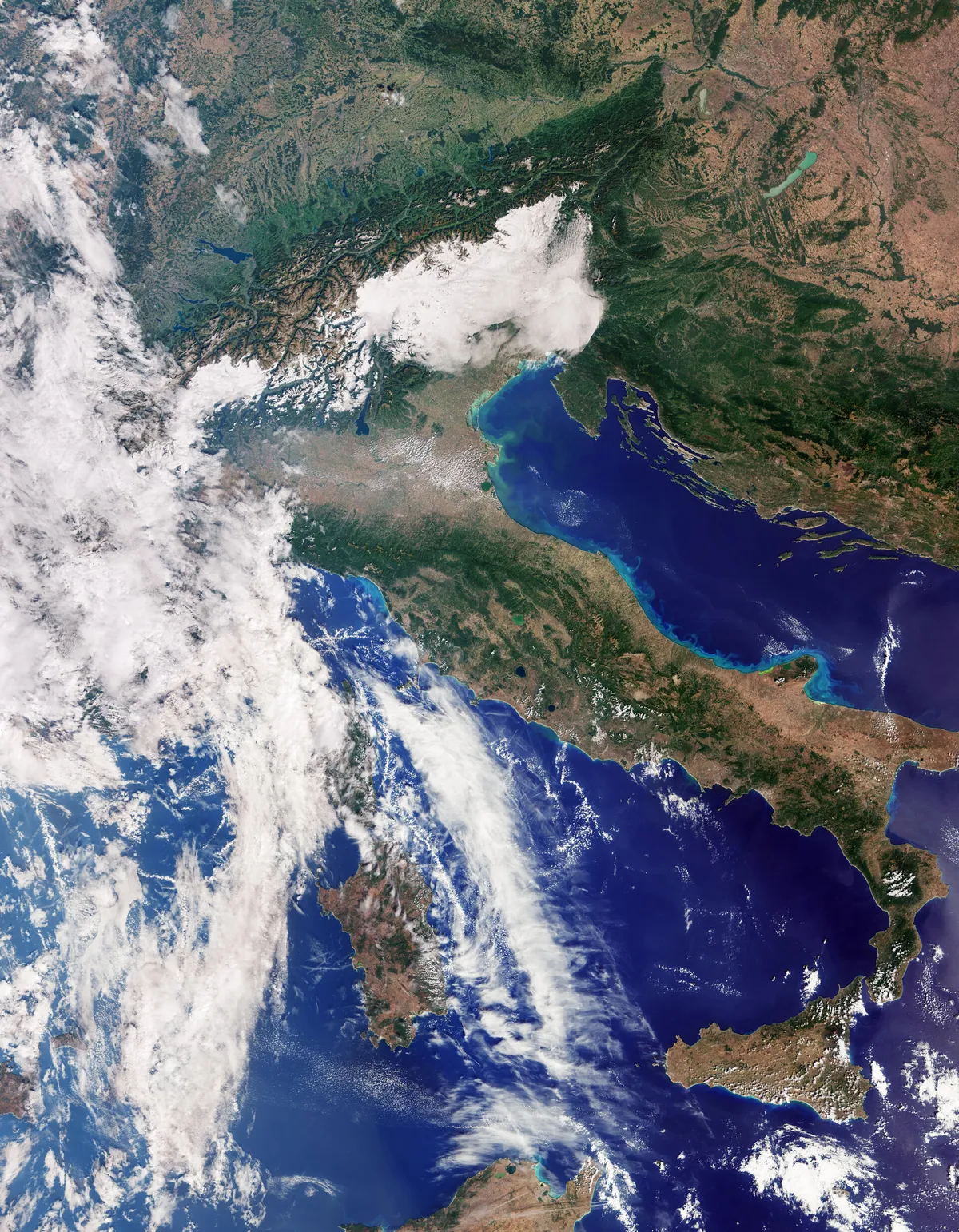
ESA said the Copernicus Sentinel-3C satellite returned its first images and measurements from two of its instruments, the Ocean and Land Colour Instrument and the Synthetic Aperture Radar Altimeter, less than a month after its September 15 launch on a Vega-C from French Guiana. The imagery includes views of Italy, the Arctic and the Caribbean, plus measurements of Greenland ice-sheet height and sea-surface height, per ESA. ESA says commissioning the satellite for service will take about five more months.
why it matters
First light confirms Sentinel-3C is tracking toward operational handover, which matters for EO resellers and climate-data users who depend on Copernicus's free, continuous ocean and land colour data continuing without a gap as the constellation's older satellites age.
signal-to-noise
quick facts
- Companies
- ESA
- Category
- constellation
- Impact
- notable
- SNR
- 5 / 5
- Event date
- 2026-10-08
- Published
- 2026-10-08 14:33 UTC